
Sherman, TX
 Prime 82.551-Acre Tract with Exceptional Development Potential
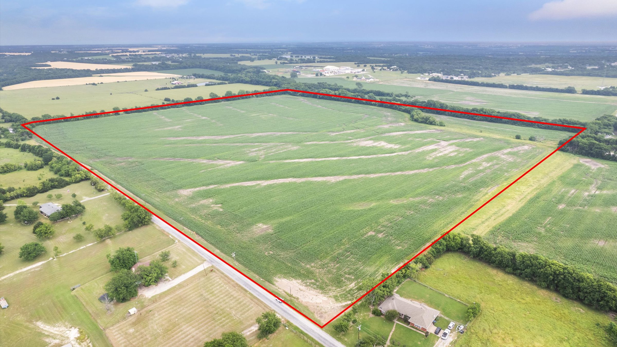

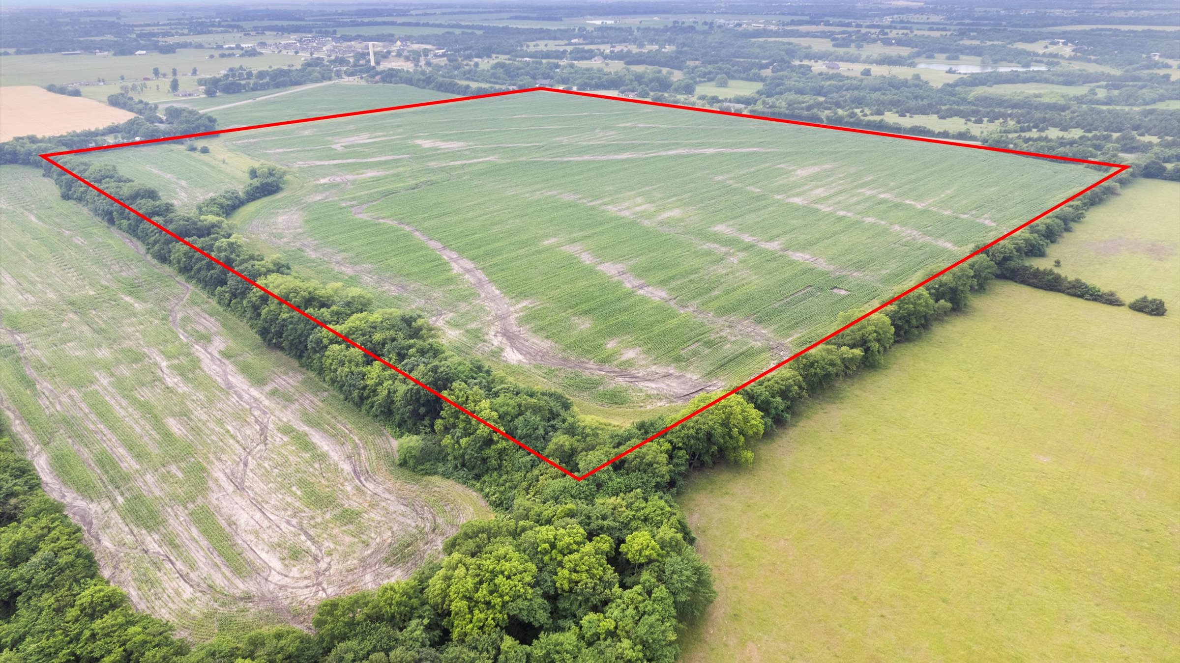
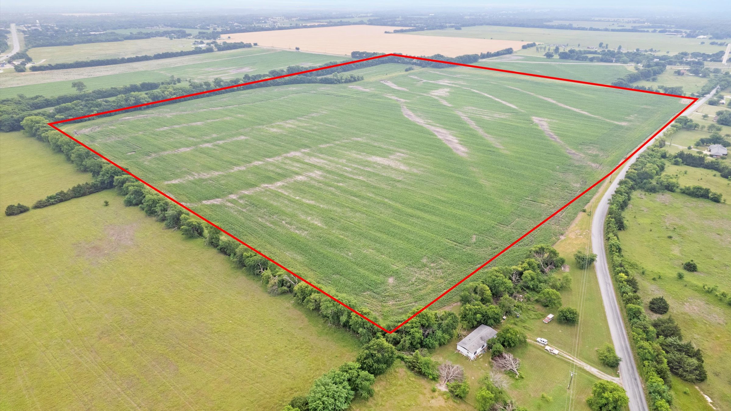
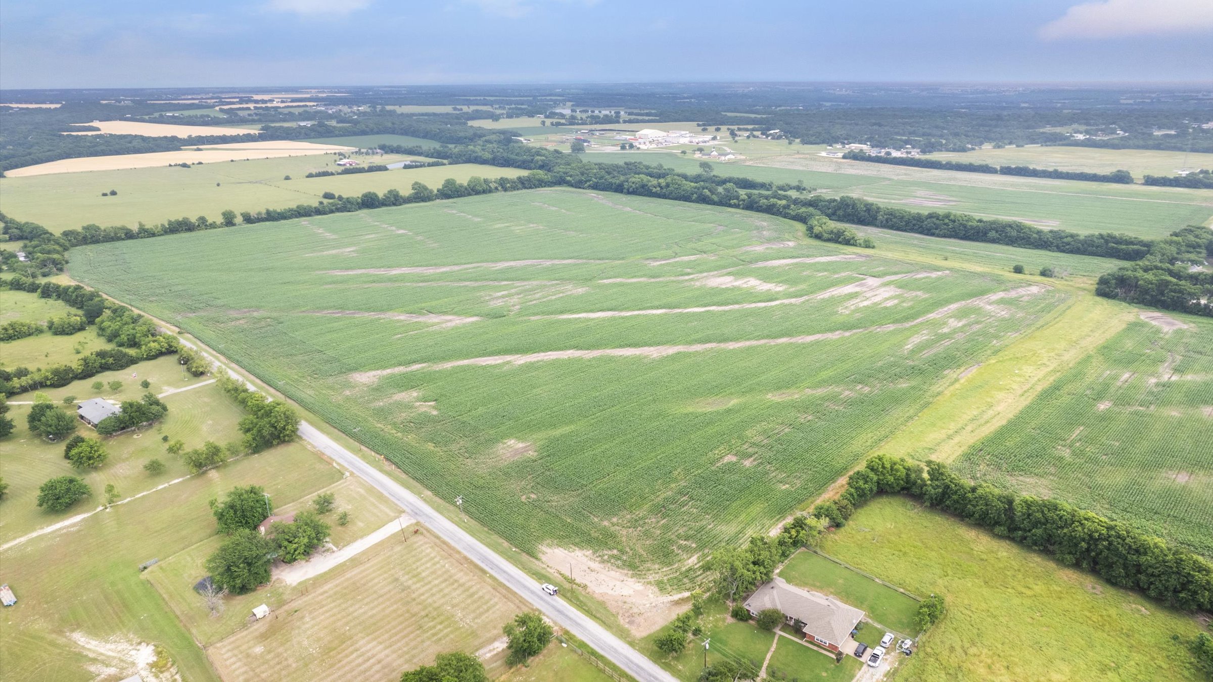
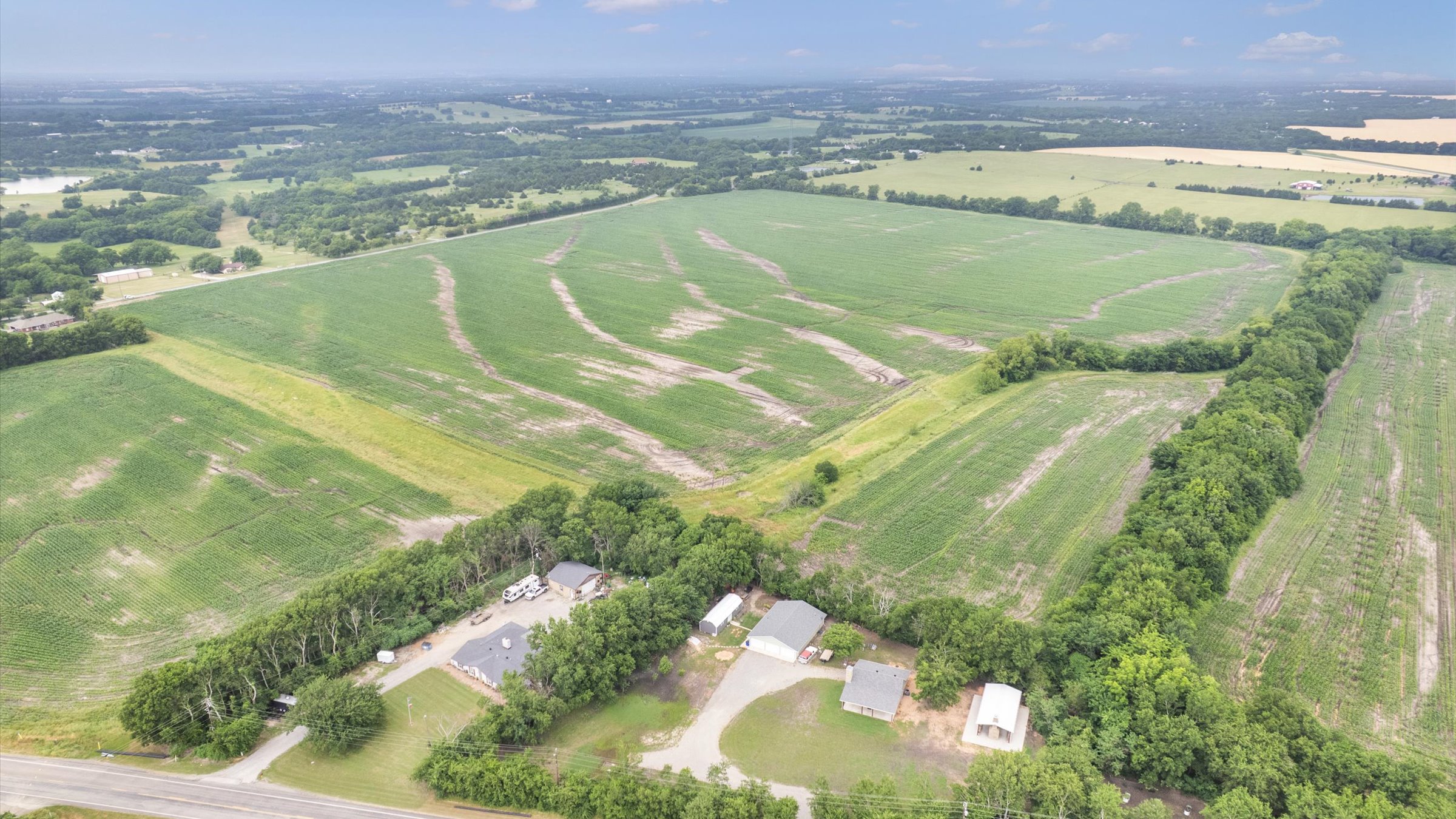
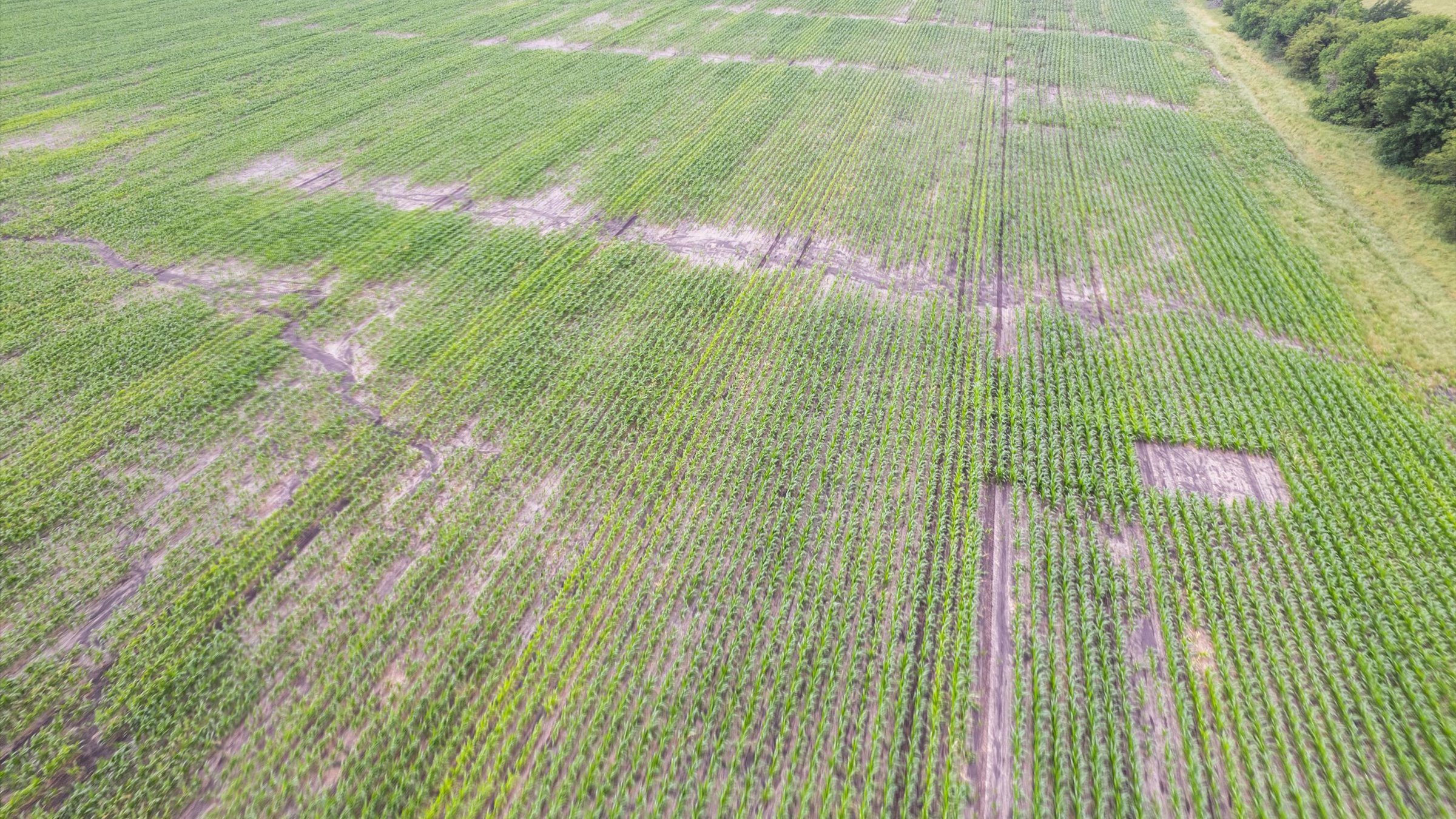
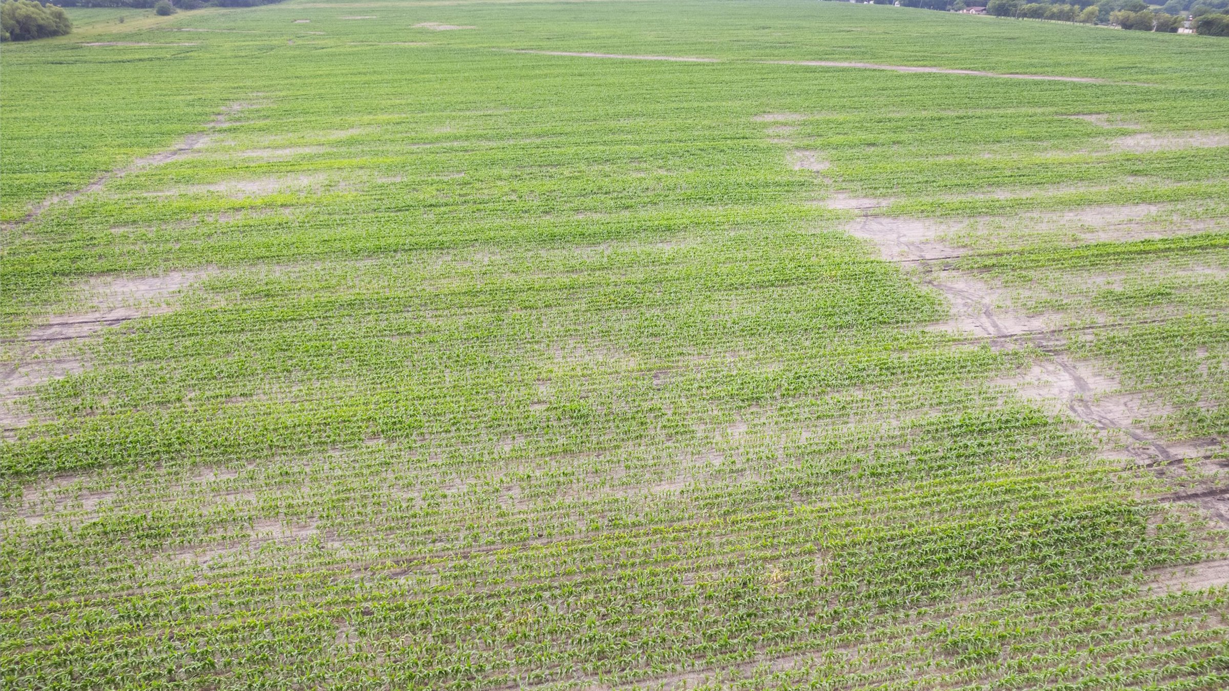
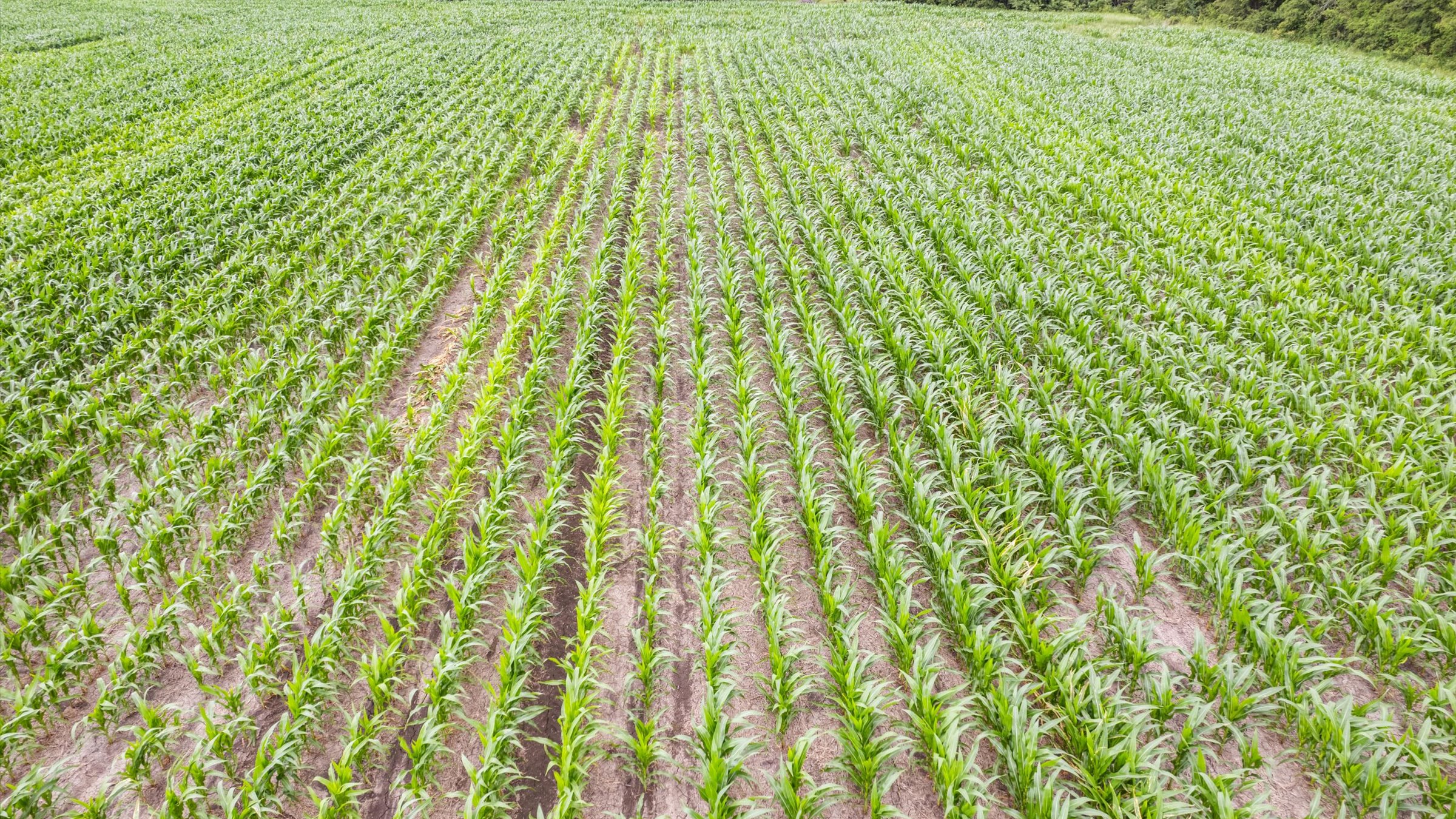
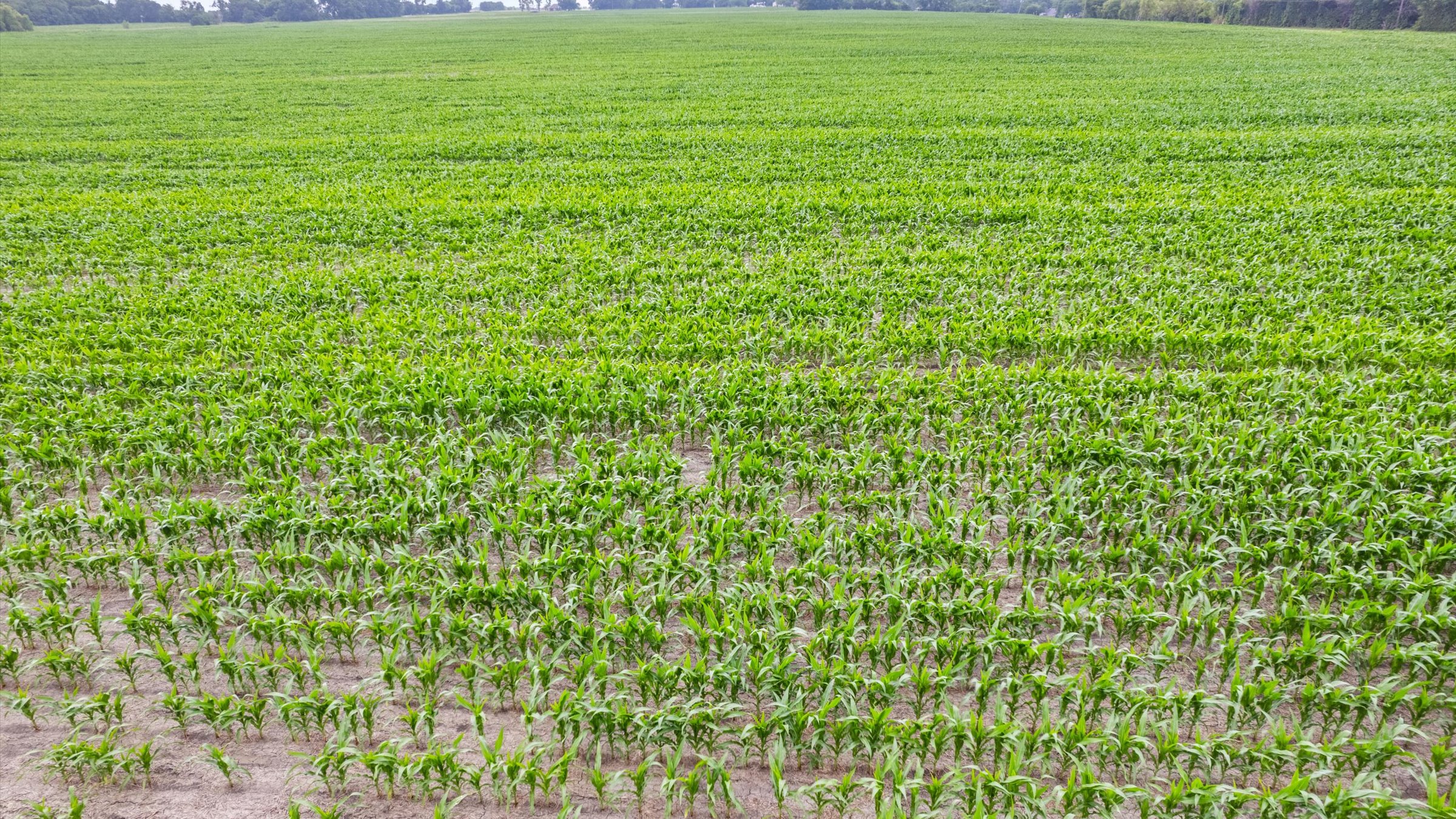
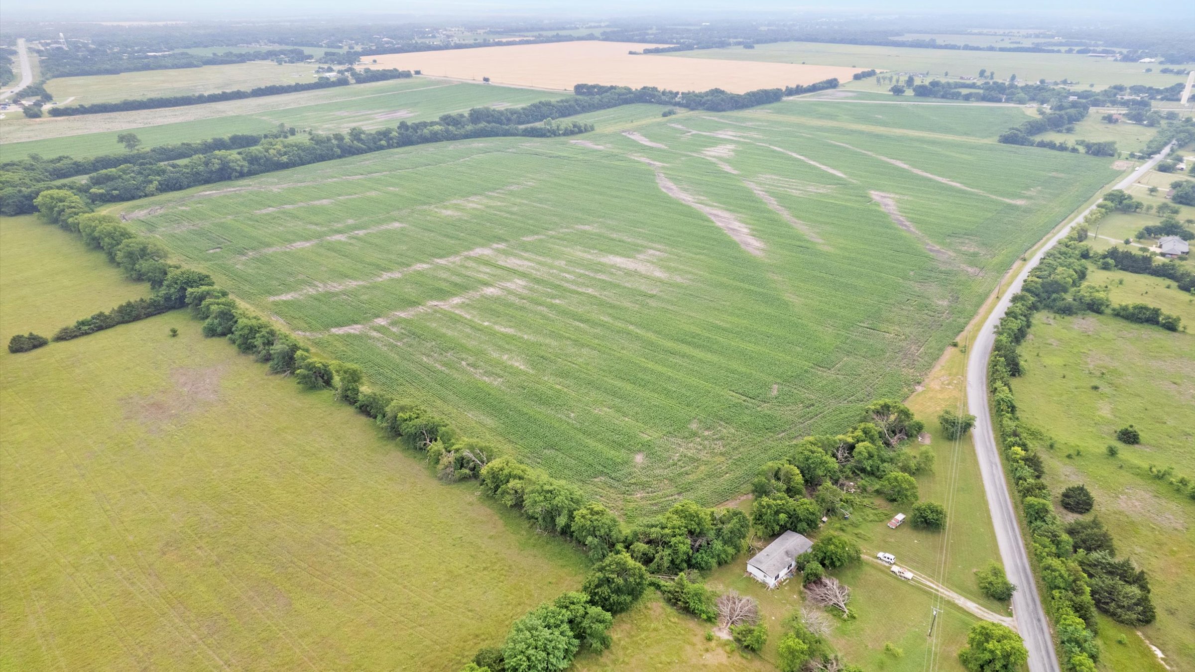


This 82.551-acre tract is a prime investment and development property located in the rapidly growing corridor south of Sherman, Texas. It is situated on Whitemound Road, positioned strategically to benefit from the massive expansion in the region.
Key Features & Infrastructure
- Frontage: The property boasts approximately 1,624 feet of road frontage on the paved White Mound Road. This road serves as a vital connector between State Highway 11 and FM 902.
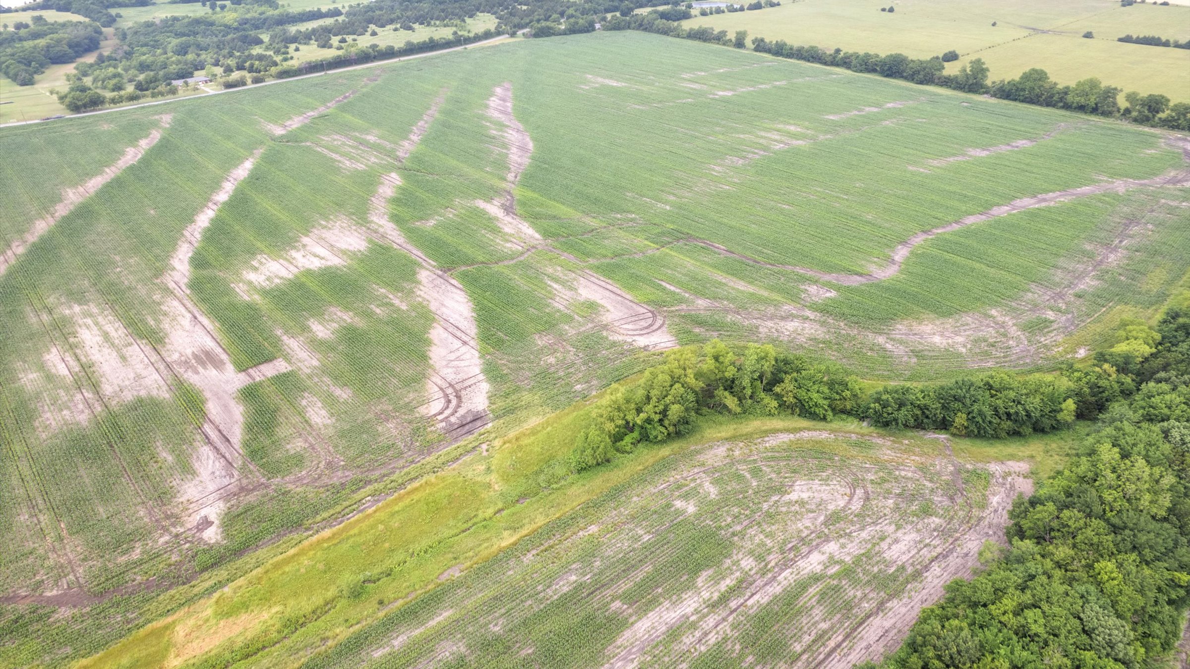
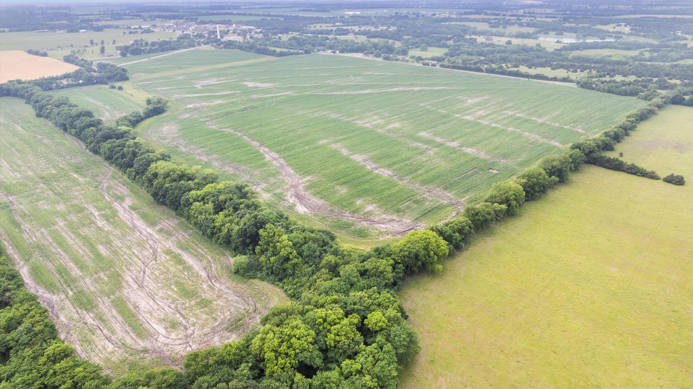
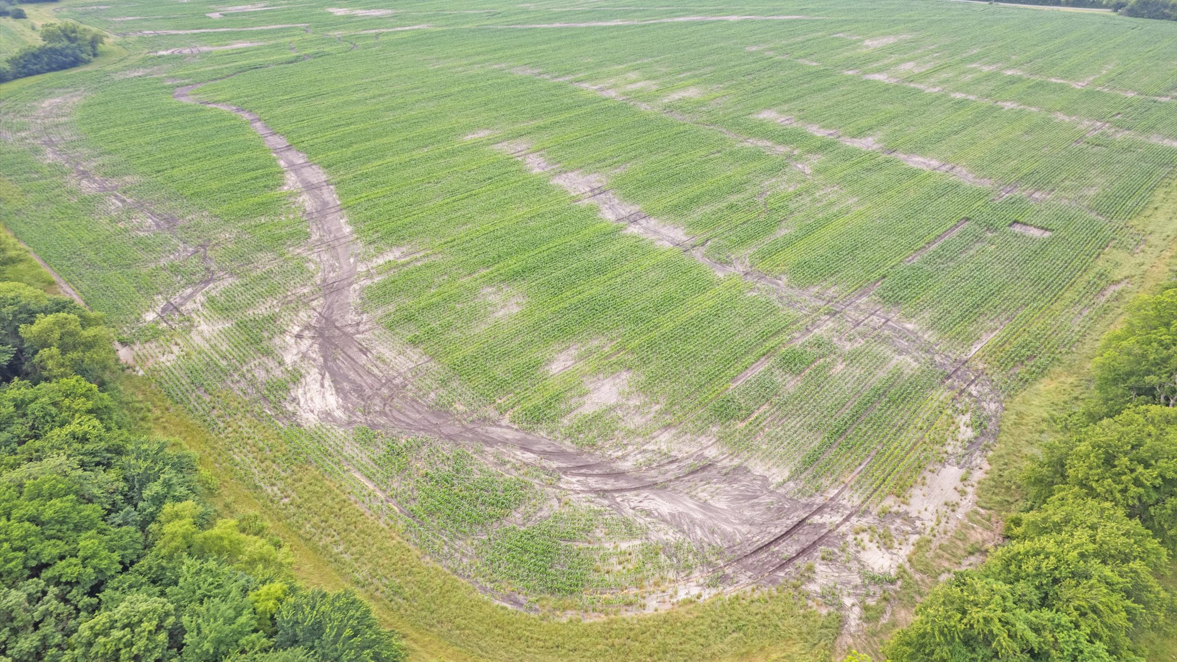
- Topography: The land is primarily level to slightly sloped, making it highly suitable for construction or continued agricultural use.
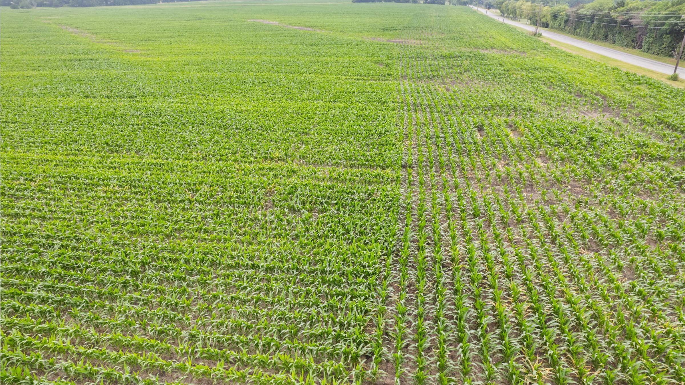
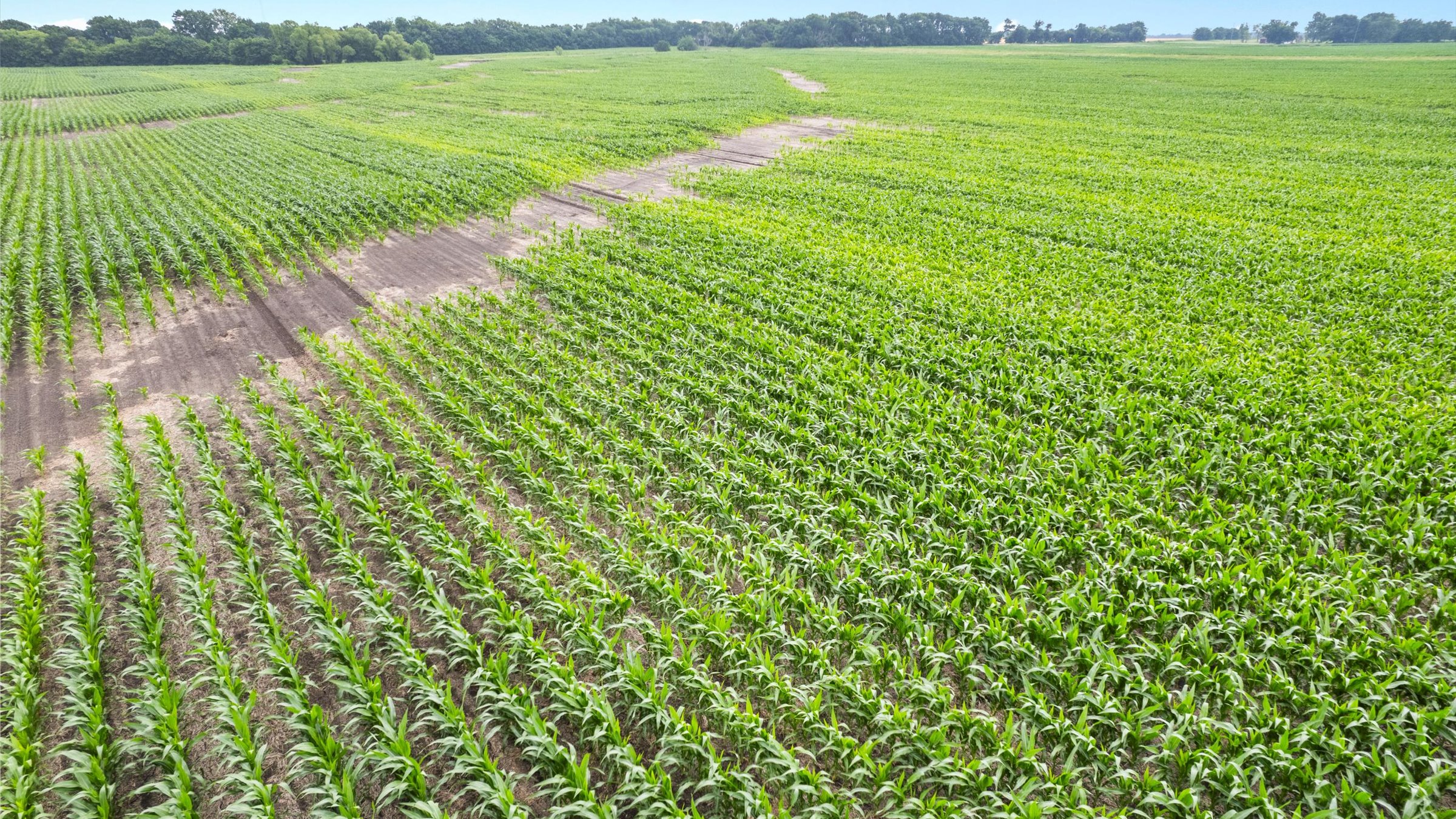
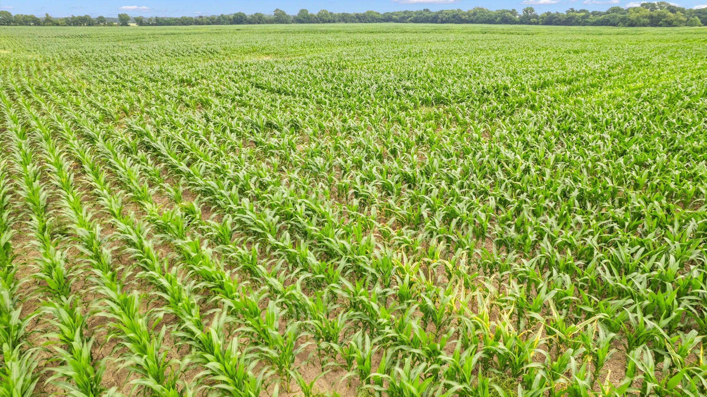
- Current Land Use: The property currently holds an Agricultural Exemption and supports an established farming operation (cultivated crops).
- Easements: Known easements include pipeline and utility lines.
Strategic Location & Development Potential
The property is exceptionally well-positioned relative to major North Texas economic drivers:
- Texas Instruments Plant: Located less than 7 miles from the new $30 billion TI chip manufacturing facility.
- Highway Access: Approximately 6 miles from US Highway 75.
- Proximity to Cities: * ~20 miles to McKinney and ~30 miles to Frisco
- Zoning Context: While currently outside the city limits (unincorporated), its proximity to Sherman’s expansion makes it a strong candidate for future residential or industrial “Residential Agricultural” (R-A) transition.
With its strategic location and proximity to major infrastructure and economic drivers, this tract is exceptionally well-positioned to capitalize on current and future development in the Sherman area and greater North Texas.
-
LOCATION
On Whitemound Road, near FM-902 and city of Tom Bean.
-
COUNTY
Grayson
-
ZONING
Currently under Ag exemption
-
SCHOOLS
Tom Bean ISD
-
FRONTAGE
On Whitemound Road
-
Topography
Majority of the land is level with minor slopes. No floodplain.
-
UTILITIES
Water: Kentucky Town Water Supply
Electric: GCEC
Discover the land
Drone Overview
The map data provided is for reference only. Boundaries and locations are approximate and may not be fully accurate. Information furnished is from sources deemed to be reliable, but is not in any way guaranteed by us and is subject to change in price, corrections, errors and omissions, prior sales or withdrawal without notice.